A Place in Time: Utah History in Context - 13000-12500 B.C.
 |
| The Great Salt Lake |
15,000 years ago, before any humans are known to have inhabited the area, Lake Bonneville covers some 32,000 square miles from its northern tip in Southern Idaho to its southern tip in Southern Utah, and its western extremity in Eastern Nevada to its eastern extremity in Central Utah. At its maximum depth, it is over 980 feet deep. The climate is cool and wet, and the valleys in Utah west of Wasatch Mountains are submerged deep under the lake. After recent lava flows have diverted the flow of rivers in Southeastern Idaho into the lake, Bonneville's levels rise even higher, seeping through the barrier at the Portneuf and Bannock Mountains. At first the leaking is gradual, until suddenly one day, the barrier is broken. The massive power of Lake Bonneville is unleashed at 33 million cubic feet per second in a 410-foot wave, blasting through the Snake River Plain at 70 miles per hour and reshaping the land. The 600-foot Snake River Canyon, Shoshone Falls and many other canyons across Idaho are broken open by the catastrophic flood, throwing up massive boulders in piles in its path. The flood continues even further into areas now known as Oregon and Washington, widening Hells Canyon gorge and eventually reaching the Columbia River and the Pacific Ocean. Over the next several centuries, the level of the lake, already reduced by about 344 ft in the initial flood, is precipitously lowered by evaporation and climate change. Its shorelines from the varying epochs remain visible, while the Great Salt Lake, Utah Lake, Sevier Lake, Rush Lake, and Little Salt Lake in the Parowan Valley, exist as its remnants.
 |
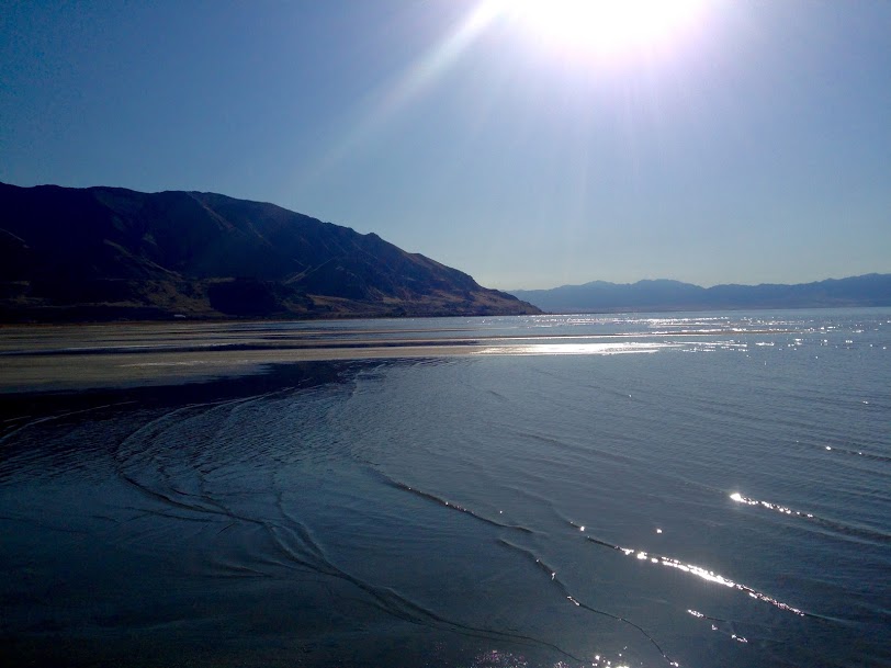
| Utah Lake |
The Rest of North America
- Over a span of 2,000 years from around 13000 to 11000 B.C., the Missoula Floods repeatedly unleash cataclysmic levels of water across Eastern Washington, the Columbia River Gorge and the Willamette Valley in Oregon. As the climate warmed near the end of the Ice Age, the ice dam enclosing the glacial Lake Missoula in Montana ruptures, unleashing Missoula's waters. In time, the ice would enclose the lake again, allowing it to fill, and again, the dam would break. This happens 25 to 40 times over the course of 2,000 years, carving and widening canyons and gorges in the floods' paths.
- It is believed that at this time, humans were crossing over into North America from Siberia by way of the Beringian land bridge, as deglaciation opens up access but before rising sea levels from the melting glaciers submerged the land bridge around 9000 B.C.
 |
| Massacre Rocks, Snake River |
The Rest of the World
- Humans have domesticated pigs from wild boars in the Tigris Basin, in what is now Turkey, around 13000 B.C. to 12700 B.C.
- Northern Africa is a much wetter climate than it will become, prompting human settlement in and around the region that is now the Sahara. Grasslands, trees and lakes will cover the Saharan region for nearly 10,000 years before an abrupt change in climate results in severe drought and the eventual disappearance of vegetation and lakes, replaced by vast quantities of sand.
 |
| Shoshone Falls |


Comments
Post a Comment